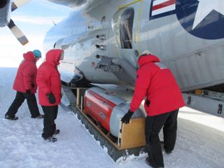
We finally get the word that we will get an airplane dedicated to flying the ROSETTA mission!

The LC 130 have a SABIR (Special Airborne Mission Installation and Response) arm, which allows attachment of specialized instrumentation packages like the IcePod.
The IcePod is controlled by electronic equipment that is installed in a custom-build rack that fits perfectly against the curved inside wall of the airplane.
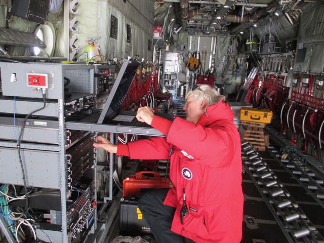
So what does the IcePod do? It provides a top-to-bottom view of the ice shelf. First, it has visible and infrared cameras that take images of the surface of the ice shelf. It has a scanning LIDAR, which shines a laser beam on the surface of the ice shelf and measures the time it takes for the laser light to reflect back, which allows us to measure the height of features on the surface of the shelf. It has a shallow ice radar, which emits a powerful radio signal that penetrates into the ice, and it listens for the reflections, which tell us about different layers of snow and ice in the upper part of the ice shelf. There is also a deep ice radar, which is at a different radio frequency, and penetrates to the bottom of the ice shelf, telling us where the bottom of the ice shelf is in contact with seawater. Finally, there is a navigation system to tell us very precisely where we are so that we can make accurate maps of the ice shelf.