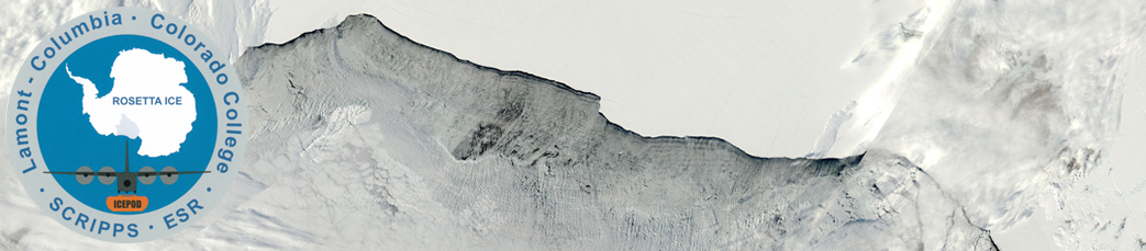
MODIS corrected reflectance true color data from both the Aqua (ascending node) and Terra (descending node) satellites were obtained at 250m resolution from http://gibs.earthdata.nasa.gov in an Antarctic Polar Stereographic Projection (epsg3031). We provide images for the ROSETTA-Ice region of interest as *.png files.
In general we will attempt to update Terra by 5 pm Pacific, and Aqua by 10 am Pacific.
Marked float locations updated as of 13-Nov-2016.
| Latest MODIS Terra | Latest MODIS Aqua |
|---|---|
 |
 |
Users interested in larger areas, times and resolutions should go to WorldView, NASA’s EOSDIS interactive tool to browse global, full-resolution satellite imagery and download the data.
Full coverage of the Ross Sea area from the Aqua Satellite is available daily from Worldview at 8 am PST. Full coverage of the Ross Sea area from the Terra Satellite is available daily from Worldview at 2:30 pm PST.
Download from ESR’s anonymous FTP site:
ftp://ftp.esr.org/pub/projects/Antarctic_SeaIce/MODIS/
Or download individual MODIS PNG files below: